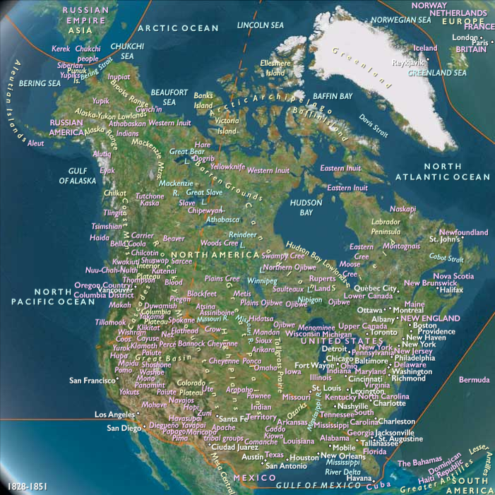
The location of the border of the …
Years: 1833 - 1833
The location of the border of the State of Ohio and Michigan Territory had been contested throughout the early 1800s.
Residents of the Port of Miami—which will later become Toledo—had urged the Ohio government to resolve the border issue.
The Ohio legislature, in turn, passes repeated resolutions and requests asking Congress to take up the matter.
In 1812, Congress had approved a request for an official survey of the line.
Delayed because of the War of 1812, it was only after Indiana's admission to the Union in 1816 that work on the survey commenced.
U.S. Surveyor General Edward Tiffin, who was in charge of the survey, was a former Ohio governor.
As a result, Tiffin employed surveyor William Harris to survey not the Ordinance Line, but the line as described in the Ohio Constitution of 1802.
When completed, the "Harris Line" placed the mouth of the Maumee River completely in Ohio.
When the results of the survey were made public, Michigan territorial governor Lewis Cass was unhappy, since it was not based on the Congressionally approved Ordinance Line.
In a letter to Tiffin, Cass stated that the Ohio-biased survey "is only adding strength to the strong, and making the weak still weaker."
In response, Michigan commissioned a second survey that was carried out by John A. Fulton and based upon the original 1787 Ordinance Line.
After measuring the line eastward from Lake Michigan to Lake Erie, it found the Ohio boundary to be south of the mouth of the Maumee River.
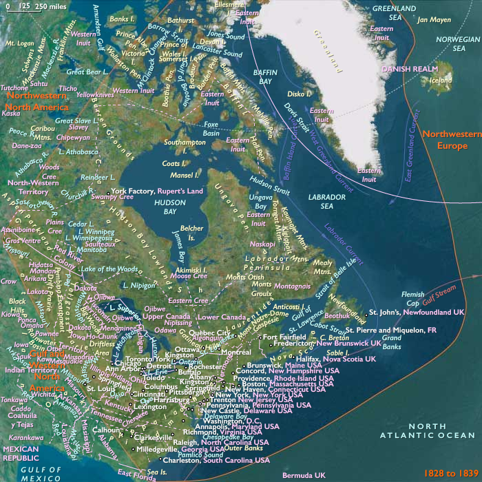
The region between the Harris and Fulton survey lines forms what is now known as the "Toledo Strip."
This ribbon of land between northern Ohio and southern Michigan spans a region five to eight miles (thirteen kilometers) wide, of which both jurisdictions claim sovereignty.
While Ohio refuses to cede its claim, Michigan has quietly occupied it for the past several years, setting up local governments, building roads, and collecting taxes throughout the area.
The land known as the Toledo Strip is a commercially important area.
Prior to the rise of the railroad industry that begins in this era, rivers and canals are the major routes of commerce in the American Midwest.
A small but important part of the Strip—the area around present day Toledo and Maumee Bayfall within the Great Black Swamp, and this area is nearly impossible to navigate by road, especially after spring and summer rainfalls.
Draining into Lake Erie, the Maumee River is not necessarily well-suited for large ships, but it does provide an easy connection to Indiana's Fort Wayne.
At this time, there are plans to connect the Mississippi River and the Great Lakes through a series of canals.
One such canal system approved by the Ohio legislature in 1825 is the Miami and Erie Canal that is to include a connection to the Ohio River and an outflow into Lake Erie via the Maumee River.
In the meantime, the Erie Canal had been built, linking New York City and the Eastern seaboard to the Great Lakes at Buffalo.
The canal, finished in 1825, had immediately become a major route for trade, enabling corn and other farm products from the Midwest to be shipped to eastern markets for much less expense than the older route along the Mississippi River.
In addition, the migration of settlers to the Midwest had increased sharply after the canal was finished, making existing port cities such as Buffalo boom towns.
The success of the Erie Canal has inspired many other canal projects.
Because the western end of Lake Erie offers the shortest overland route to the frontiers of Indiana and Illinois, Maumee Harbor is seen as a site of immediate importance and great value.
Detroit is twenty miles (thirty-two kilometers) up the Detroit River from Lake Erie, and faces the difficult barrier of the Great Black Swamp to the south.
Because of this, Detroit is less suited to new transportation projects such as canals (and later, railroads) than is Toledo.
In the rapidly developing Midwest of the 1820s and 1830s, both Ohio and Michigan have much to gain by controlling the land in the Toledo Strip.
Moreover, the Strip west of the Toledo area is a prime location for agriculture, because of its well-drained, fertile loam soil.
Michigan and Ohio both claim what seems strategically and economically destined to become an important port and a prosperous region.
Locations
People
Groups
- United States of America (US, USA) (Washington DC)
- Ohio, State of (U.S.A.)
- Michigan, Territory of (U.S.A.)
- Indiana, State of (U.S.A.)
Topics
Commodoties
Subjects
Regions
Subregions
Related Events
Showing 10 events out of 18757 total
Years: 1833 - 1833
Locations
People
Groups
- United States of America (US, USA) (Washington DC)
- Ohio, State of (U.S.A.)
- Michigan, Territory of (U.S.A.)
- Indiana, State of (U.S.A.)
Topics
Commodoties
Subjects
Regions
Subregions