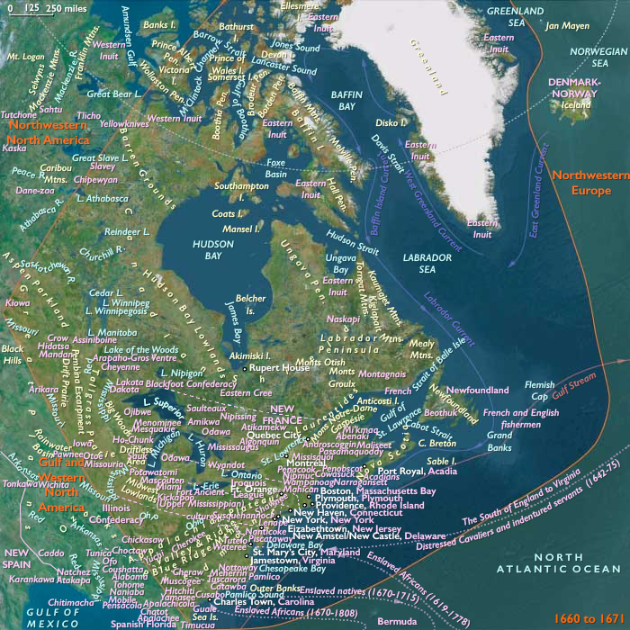
The supply of artillery to Susqehannock forts …
Years: 1666 - 1666
The supply of artillery to Susqehannock forts by English settlers has made it impossible for the Iroquois to triumph by superior arms.
The Susqehannock, taking the upper hand, have begun to invade Iroquois territory, where they cause significant damage.
Locations
Groups
- Iroquois (Haudenosaunee, also known as the League of Peace and Power, Five Nations, or Six Nations)
- Susquehannock (Amerind tribe)
- Lenape or Lenni-Lenape (later named Delaware Indians by Europeans)
- New France (French Colony)
- Netherlands, United Provinces of the (Dutch Republic)
- France, (Bourbon) Kingdom of
- England, (Stewart, Restored) Kingdom of
- Maryland, Province of (English Colony)
Topics
- North American Fur Trade
- Colonization of the Americas, French
- Colonization of the Americas, English
- Beaver Wars, or French and Iroquois Wars
- Colonization of the Americas, Dutch
- Dutch-Indian Wars of 1655-64 (Esopus War)
Commodoties
Subjects
Regions

Subregions
Related Events
Showing 10 events out of 30995 total
Years: 1666 - 1666
Locations
Groups
- Iroquois (Haudenosaunee, also known as the League of Peace and Power, Five Nations, or Six Nations)
- Susquehannock (Amerind tribe)
- Lenape or Lenni-Lenape (later named Delaware Indians by Europeans)
- New France (French Colony)
- Netherlands, United Provinces of the (Dutch Republic)
- France, (Bourbon) Kingdom of
- England, (Stewart, Restored) Kingdom of
- Maryland, Province of (English Colony)
Topics
- North American Fur Trade
- Colonization of the Americas, French
- Colonization of the Americas, English
- Beaver Wars, or French and Iroquois Wars
- Colonization of the Americas, Dutch
- Dutch-Indian Wars of 1655-64 (Esopus War)
Commodoties
Subjects
Regions
Subregions