Filters:
The Treaty of St. Louis of 1816, …
Years: 1816 - 1816
September
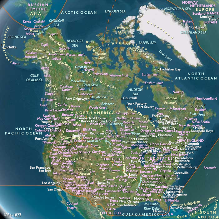
The Treaty of St. Louis of 1816, signed on August 24 by Ninian Edwards, William Clark, and Auguste Chouteau for the United States and representatives of the Council of Three Fires (united tribes of Ottawa, Ojibwa, and Potawatomi) residing on the Illinois and Milwaukee rivers, will be proclaimed on December 30, 1816.
Despite the name, the treaty is conducted at Portage des Sioux located immediately north of St. Louis.
By signing the treaty, the tribes, their chiefs, and their warriors relinquish all right, claim, and title to land previously ceded to the United States by the Sac and Fox tribes on November 3, 1804.
By signing, the united tribes also cede a twenty-mile strip of land to the United States, which connects Chicago and Lake Michigan with the Illinois River.
In 1848, the Illinois and Michigan Canal will be built on the ceded land and, in 1900, the Chicago Sanitary and Ship Canal.
In exchange the tribes are to be paid one thousand dollars in merchandise over twelve years.
The land i surveyed by John C. Sullivan and its land is originally intended as land grant rewards for volunteers in the War of 1812.
Many of the streets in the survey run at a diagonal that is counter to the Chicago street grid.
Today, Indian Boundary Park in West Ridge, Chicago, commemorates this treaty.
Locations
Groups
- Three Fires, Council of
- Potawatomi (Amerind tribe)
- Ojibwa, or Ojibwe, aka or Chippewa (Amerind tribe)
- Odawa, or Ottawa, people (Amerind tribe)
- Sauk, or Sac, people (Amerind tribe)
- Meskwaki, or Fox tribe (Amerind tribe)
- United States of America (US, USA) (Washington DC)
- Missouri, Territory of (U.S.A.)
Topics
Commodoties
Subjects
Regions
Subregions

Years: 1816 - 1816
September
Locations
Groups
- Three Fires, Council of
- Potawatomi (Amerind tribe)
- Ojibwa, or Ojibwe, aka or Chippewa (Amerind tribe)
- Odawa, or Ottawa, people (Amerind tribe)
- Sauk, or Sac, people (Amerind tribe)
- Meskwaki, or Fox tribe (Amerind tribe)
- United States of America (US, USA) (Washington DC)
- Missouri, Territory of (U.S.A.)
Topics
Commodoties
Subjects
Regions
Subregions