Muhammad al-Idrisi, born and raised in Ceuta, …
Years: 1154 - 1154
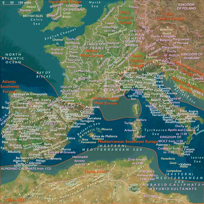
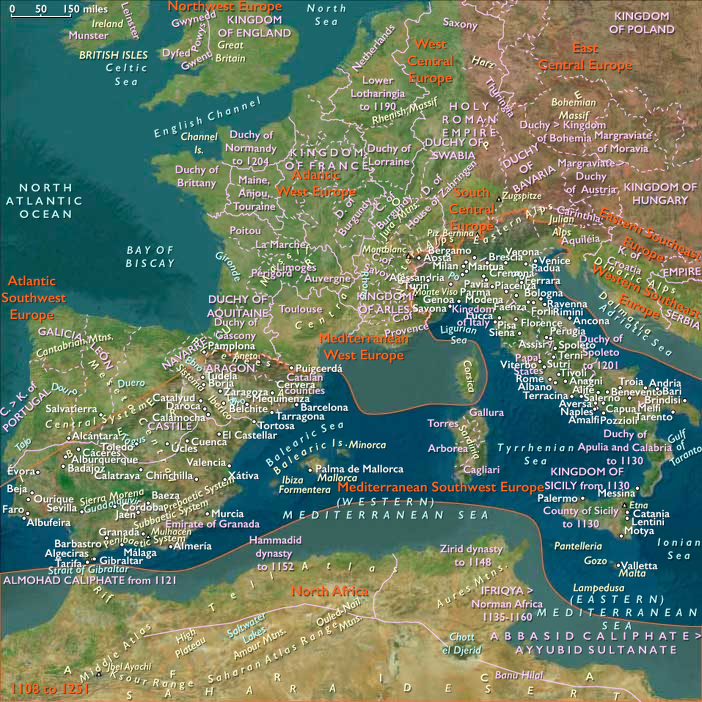
Muhammad al-Idrisi, born and raised in Ceuta, had at an early age traveled to Islamic Spain, Portugal, France and England, and visited Anatolia when he was barely sixteen.
Because of conflict and instability in Al-Andalus, al-Idrisi had joined contemporaries such as Abu al-Salt in Sicily, where the Normans had overthrown Arabs formerly loyal to the Fatimids.
Al-Idrisi has incorporated the knowledge of Africa, the Indian Ocean and the Far East gathered by Islamic merchants and explorers and recorded on Islamic maps with the information brought by the Norman voyagers to create the most accurate map of the world in pre-modern times, which serves as a concrete illustration of his Kitab nuzhat al-mushtaq, (Latin: Opus Geographicum), which may be translated A Diversion for the Man Longing to Travel to Far-Off Places.
His atlas of the world, the Tabula Rogeriana, is drawn by Al-Idrisi in 1154 for the Norman King Roger II of Sicily, after a stay of eighteen years at his court, where he has worked on the commentaries and illustrations of the map.
The map, with legends written in Arabic, while showing the Eurasian continent in its entirety, only shows the northern part of the African continent and lacks details of the Horn of Africa and Southeast Asia.
For Roger it is inscribed on a massive disc of solid silver, two meters in diameter.
The Tabula Rogeriana will remain one of the most accurate maps until the Age of Discovery.
Locations
People
Groups
Topics
Commodoties
Subjects
Regions
Subregions
Related Events
Showing 10 events out of 48649 total
Years: 1154 - 1154
Locations
People
Groups
Topics
Commodoties
Subjects
Regions
Subregions