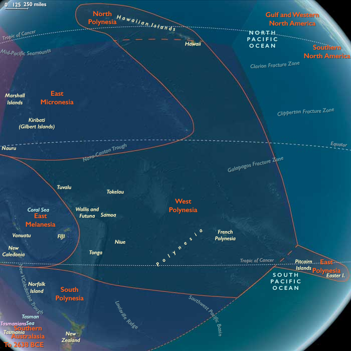
Northern Oceania encompasses Northeast Asia, North Polynesia, …
Years: 49294BCE - 28558BCE
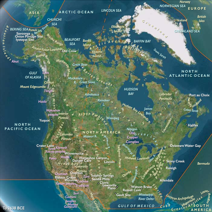
Northern Oceania encompasses Northeast Asia, North Polynesia, and Northwestern North America.
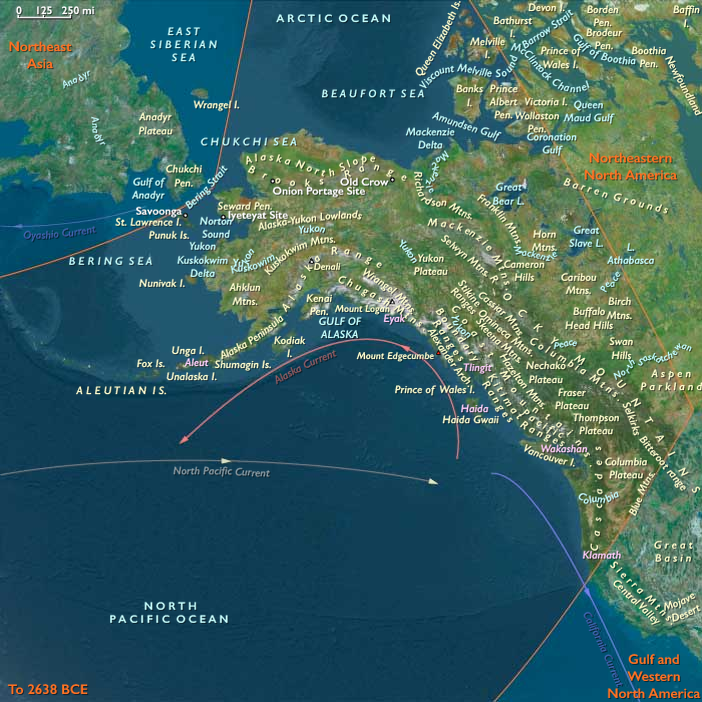
Its southeastern boundary extends from 48.1896851°N, approximately 75 miles south of the Alberta-Saskatchewan-Montana junction, to the Pacific Ocean at Cape Mendocino. To the immediate northwest of this line lies the Pacific Northwest.
In Canada, Alberta and British Columbia form the border with the United States, while to the north lie Nunavut, the Northwest Territories, Yukon, and Alaska.
The eastern boundary at 110°W was originally designated as the Fourth Meridian of the Dominion Land Survey. However, due to the limitations of early surveying techniques, the meridian was placed slightly west of this longitude. Since 1905, the Fourth Meridian has served as the entire boundary between Alberta and Saskatchewan and continues northward as the dividing line between Nunavut and the Northwest Territories above 70°N.
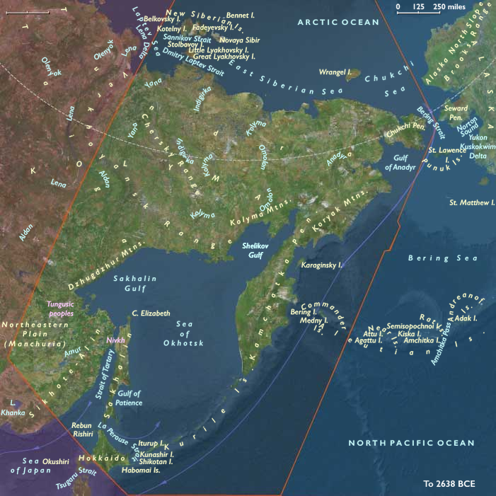
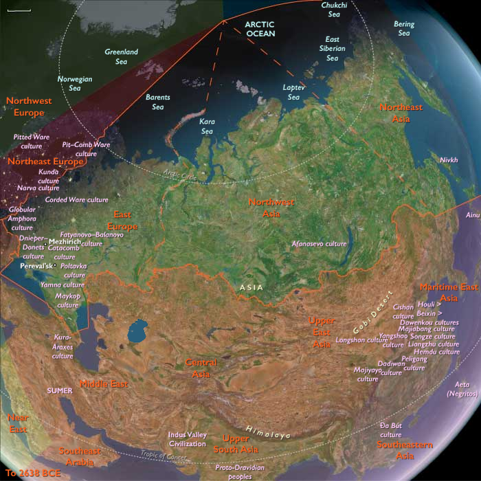
Northern Oceania's western boundary, at 130°E, roughly aligns with the division between Siberia and the Russian Far East, corresponding to Russia’s Siberian and Far Eastern federal districts. This boundary terminates above the Amur River, which has historically marked the border between Russia and China’s Heilongjiang province. The northernmost point of China, in Mohe City, lies along this river.
The southwestern boundary separates most of Japan’s northernmost major island, Hokkaido, from Honshu and the rest of the Japanese archipelago.
HistoryAtlas contains 401 entries for Northern Oceania from the Paleolithic period to 1899.
Narrow results by searching for a word or phrase or select from one or more of a dozen filters.
Years: 49294BCE - 28558BCE
Regions
Subregions