Hannover, located on the south bank of …
Years: 1240 - 1240
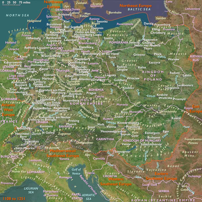
Hannover, located on the south bank of the Leine River some eighty miles (one hundred and thirty kilometers) south of Hamburg, was a small village of ferrymen and fishermen that became a comparatively large town in the thirteenth century due to its position at a natural crossroads; it is chartered in 1241.
As overland travel is relatively difficult, its position on the upper navigable reaches of the river has helped it to grow by increasing trade.
It is connected to the city of Bremen by the Leine, and is situated near the southern edge of the wide North German Plain and northwest of the Harz mountains, so that east-west traffic such as mule trains pass through it.
Hanover is thus a gateway to the Rhine, Ruhr and Saar river valleys, their industrial areas which grew up to the southwest, and the plains regions to the east and north, for overland traffic skirting the Harz between the Low Countries and Saxony or Thuringia.
Locations
Groups
Commodoties
Subjects
Regions
Subregions

Years: 1240 - 1240
Locations
Groups
Commodoties
Subjects
Regions
Subregions