Filters:
The so-called Dieppe Maps, copied by spies …
Years: 1528 - 1539
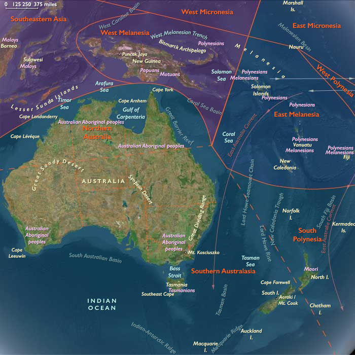
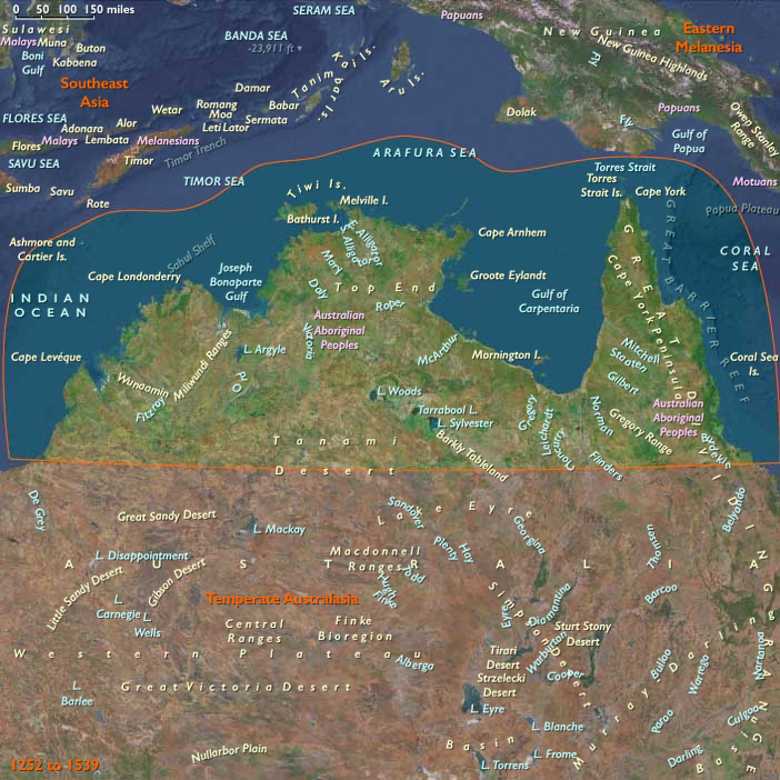
The so-called Dieppe Maps, copied by spies from secret Portuguese charts, and presented in 1536 to the French Dauphin, indicates that a Portuguese fleet has previously found and charted the northeast and east coasts of Australia.
One of the maps depicts a Southern Continent nearly identical in eastern profile to Australia.
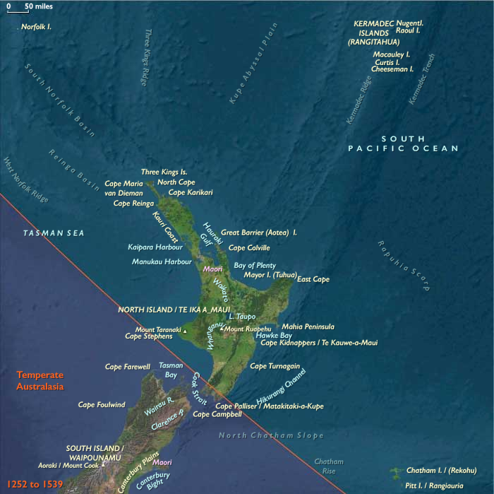
Another of the Dieppe Maps depicts the knowledge of New Zealand’s east coasts gained earlier by Portuguese mariners.
People
Groups
Topics
Subjects
Regions
Subregions
Years: 1528 - 1539
People
Groups
Topics
Subjects
Regions
Subregions