Verus’ journey continues by ship through the Aegean and the southern coasts of Asia Minor, lingering in the famed pleasure resorts of Pamphylia and Cilicia, before arriving in Antioch.
It is not known how long Verus' journey east took; he might not have arrived in Antioch until after 162.
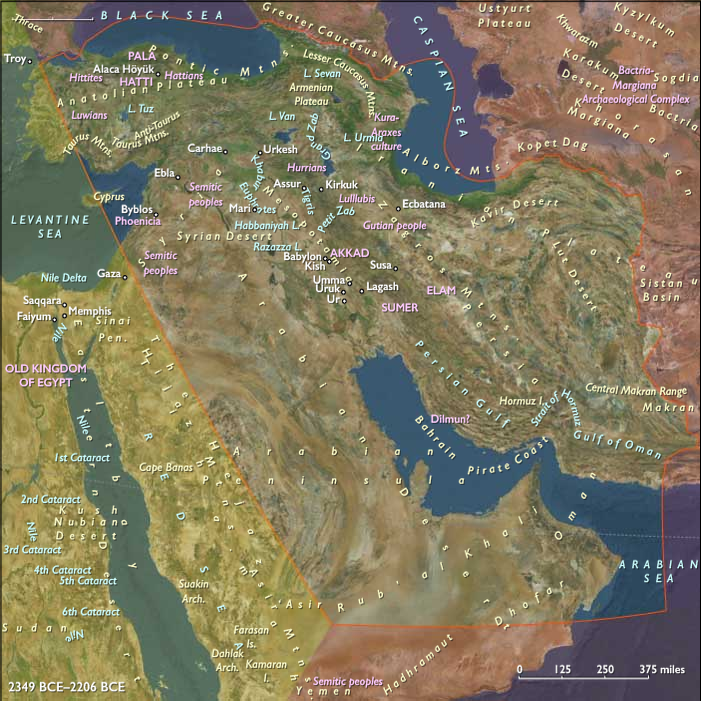
Statius Priscus, meanwhile, must have already arrived in Cappadocia; he will earn fame in 163 for successful generalship.
Lucius spends most of the campaign in Antioch, though he wintered at Laodicea and summers at Daphne, a resort just outside Antioch.
He takes up a mistress named Panthea, from Smyrna.
The biographer calls her a "lowborn girlfriend", but she is probably closer to Lucian's "woman of perfect beauty", more beautiful than any of Phidias and Praxiteles' statues.
Polite, caring, humble, she sings to the lyre perfectly and speaks clear Ionic Greek, spiced with Attic wit.
Panthea reads Lucian's first draft, and criticizes him for flattery.
He had compared her to a goddess, which frightens her—she does not want to become the next Cassiopeia.
She has power, too: she makes Lucius shave his beard for her.
Critics declaim Lucius' luxurious lifestyle.
He has taken to gambling and enjoys the company of actors.
He makes a special request for dispatches from Rome, to keep him updated on how his chariot teams are doing.
He brings a golden statue of the Greens' horse Volucer around with him, as a token of his team spirit.
Fronto defends his pupil against some of these claims: the Roman people need Lucius' bread and circuses to keep them in check.
This, at least, is how the biographer has it.
The whole section of the vita dealing with Lucius' debaucheries (HA Verus 4.4–6.6) is an insertion into a narrative otherwise entirely cribbed from an earlier source.
Some few passages seem genuine; others take and elaborate something from the original.
The rest is by the biographer himself, relying on nothing better than his own imagination.
Lucius faces a heavy task.
Fronto describes the scene in terms recalling Corbulo's arrival one hundred years before.
The Syrian soldiers, having turned soft during the east's long peace, spend more time at the city's open-air bars than in their quarters.
Under Lucius, training is stepped up.
Pontius Laelianus orders that their saddles be stripped of their padding.
Gambling and drinking are sternly policed.
Fronto writes that Lucius was on foot at the head of his army as often as on horseback.
He personally inspects soldiers in the field and at camp, including the sick bay.
Lucius sends Fronto few messages at the beginning of the war, but does send Fronto a letter apologizing for his silence.
He will not detail plans that could change within a day, he writes.
Moreover, there is little thus far to show for his work.
Lucius does not want Fronto to suffer the anxieties that have kept him up day and night.
One reason for Lucius' reticence may have been the collapse of Parthian negotiations after the Roman conquest of Armenia.
Lucius' presentation of terms is seen as cowardice.
The Parthians are not in the mood for peace.
Lucius needs to make extensive imports into Antioch, so he opens a sailing route up the Orontes.
Because the river breaks across a cliff before reaching the city, Lucius orders that a new canal be dug.
After the project is completed, the Orontes' old riverbed dries up, exposing massive bones—the bones of a giant.
Pausanias says they were from a beast "more than eleven cubits" tall; Philostratus says the it was "thirty cubits" tall.
The oracle at Claros declares that they are the bones of the river's spirit.